
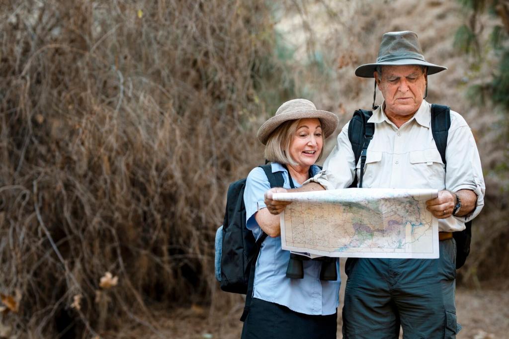
Respectful Exploration: Safety, Access, and Ethics
Before entering restricted courtyards, tunnels, or construction zones, contact owners or authorities. Respect closures. Photograph from public ways when access is denied. Your curiosity should build trust so future explorers and researchers are welcomed, not barred.
Respectful Exploration: Safety, Access, and Ethics
Carry a soft brush, notebook, and measuring tape—not pry bars. Record conditions, avoid scraping surfaces, and never remove artifacts. Publish clear credits and locations cautiously, prioritizing preservation over viral attention or personal recognition in every circumstance.